NOAA Predicts Warm, Wet Winter Amid Historic El Niño
Forecasters warn that the strongest El Niño on record will shift weather patterns, bringing above-average rain to the South and wet coast to the West while leaving the Midwest dry.
By Sophie Costa ·
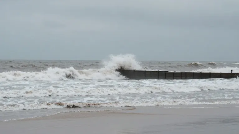
Forty-two people died in a single Central Florida tornado outbreak during the 1998 El Niño event. That historical benchmark stands as forecasters point to the current climate pattern as the strongest on record.
The National Oceanic and Atmospheric Administration released its latest seasonal outlook in October. The agency expects warmer-than-average temperatures across much of the continental United States. It also projects above-average precipitation in several key regions.
Ken Graham, director of NOAA's National Weather Service, addressed reporters during an October media briefing. He described the current conditions as a strong, if not historic, El Niño entering the winter season. Graham emphasized that these predictions offer a roadmap for cities to allocate resources. He stated that earlier and better decisions save lives.
Josh Willis, a climate scientist at NASA's Jet Propulsion Laboratory, uses the term Godzilla to describe the event. Willis credits his colleague Bill Patzert with coining the phrase. The term refers to the vast area of warm water in the eastern Pacific. This warmth releases heat into the atmosphere and shifts global weather patterns.
The effects have already reached the West Coast. In early October, a Kelvin wave raised sea levels as it moved north. This wave contributed to coastal flooding associated with Tropical Storm Rachel. Another Kelvin wave was located between Los Angeles and San Francisco in late October. Several more waves are expected through the fall and early winter.
In the Southwest, severe flooding in the Four Corners region forced rooftop rescues in late October. Daniel Swain, a climate scientist with the University of California Agriculture and Natural Resources, linked the severe thunderstorms to record-warm waters off the coast. He noted that El Niño and a recent marine heat wave drove those warm waters.
The Northeast is forecast to see warmer temperatures and above-average precipitation. Studies suggest El Niño can strengthen the frequency of nor'easters. These storms push warm, moist air northward. Forecasters expect flooding similar to the record-setting 2023 El Niño event. The South has the highest chance of above-normal precipitation, including in northern Texas. Florida is bracing for heavy rain following a quiet hurricane season that produced only one named storm.
The Midwest faces different conditions. The Upper Midwest is expected to have a smaller snowpack than normal due to warmer temperatures. Drought situations are expected to persist and potentially worsen. Jon Gottschalck, a meteorologist and branch chief for NOAA, said dry conditions in western Oregon and western Washington may improve. He expects drought conditions in those areas to potentially end.
Source: WVXU