NOAA Forecasts Warmer, Wetter U.S. Winter Amid Strong El Niño
The agency predicts above-average precipitation in the South and West, though the pattern does not guarantee specific local weather outcomes.
By Ayanda Kaminski ·
The National Oceanic and Atmospheric Administration predicts a warmer and wetter winter for the continental United States. This outlook relies on a strong El Niño event currently developing in the tropical Pacific. NOAA officials describe the current atmospheric conditions as potentially historic in scale.
Ken Graham, director of NOAA's National Weather Service, addressed media in October regarding the seasonal forecast. He stated that the incoming pattern is strong, if not historic. Graham noted that these seasonal predictions help cities prepare for impacts and allocate resources. He emphasized that earlier and better decisions save lives by allowing officials to assess risks and mitigate them.
El Niño is a natural climate pattern where water in the eastern Pacific warms near the equator. This heat release shifts global weather patterns. Josh Willis, a climate scientist at NASA's Jet Propulsion Laboratory, describes the phenomenon as Godzilla. He explains that the warm water acts like a monster stretching across the ocean, breathing fire on Indonesia and kicking up storms on the U.S. Pacific coast.
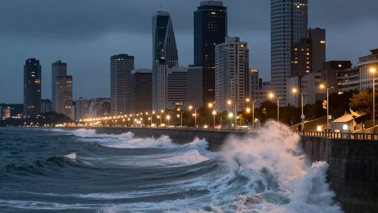
The pattern is already affecting the West Coast. A Kelvin wave, a large band of warm water, raised sea levels along the coast in early October. This contributed to coastal flooding associated with Tropical Storm Rachel. Dillon Amaya, an assistant professor of atmospheric sciences at North Carolina State University, explained that Kelvin waves do not cause flooding alone. Instead, they increase the likelihood of flooding by raising baseline water levels.
Another Kelvin wave is currently moving between Los Angeles and San Francisco. Amaya expects several more waves through the fall and early winter. Forecasters predict above-average precipitation for California, particularly in the south. Warmer temperatures are also expected in Northern California. Parts of Nevada and the southern Rocky Mountains may see higher snowfall.
In the Southwest, severe flooding has already occurred in the Four Corners region. Water levels rose in New Mexico, Colorado, Arizona, and Utah, forcing rooftop rescues in late October. Daniel Swain, a climate scientist with the University of California Agriculture and Natural Resources, attributed the severe thunderstorms to moisture from record-warm waters off the West Coast. He cautioned that these wet conditions will not end the water crisis in the Colorado River basin. Lake Powell and Lake Mead remain at record low levels.
The Northeast faces warmer temperatures and above-average precipitation. Studies suggest El Niño can strengthen nor'easters, leading to coastal erosion. Forecasters predict flooding levels similar to the record-setting 2023 El Niño event. The South has the greatest chance for above-average precipitation, including northern Texas. Florida is bracing for heavy rain, following a quiet hurricane season with only one named storm. Tornado risk is typically higher during El Niño years, as seen in the 1998 outbreak that killed 42 people in Central Florida. The Midwest, particularly the Upper Midwest, is expected to have a smaller snowpack due to warmer temperatures.
Source: WVIZ