Alabama Weather: 70s return Monday before weekend chill
Breezy conditions accompany warm temperatures through Tuesday, with a new front bringing 40s to the region by the weekend.
By Ayanda Kaminski ·
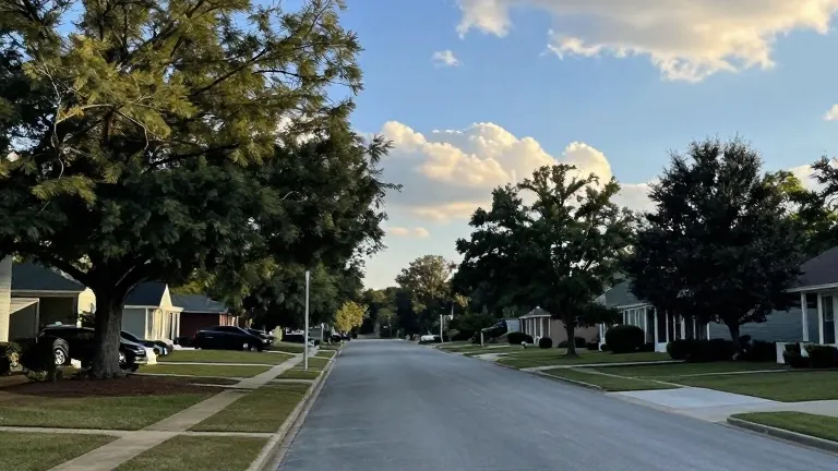
Temperatures in Birmingham are expected to reach the upper 70s this afternoon, marking a sharp rise from the upper 50s recorded at the start of the day. The weather service forecasts a breezy afternoon with southeast winds ranging from 5 to 15 mph, with gusts potentially reaching 20 mph. This southerly airflow drives the heat increase despite a sky that remains mostly cloudy until the afternoon hours. By 7 p.m. CST, clouds should clear slightly to create a partly sunny to partly cloudy atmosphere, with temperatures cooling into the mid and upper 60s. Sunset is scheduled for 4:54 p.m. CST, and no rain is expected today.
Tuesday, which coincides with Election Day, should remain mostly dry with highs in the mid 70s. Morning temperatures are projected to start in the lower 60s under a partly to mostly cloudy sky. Winds will continue from the southeast at 10 to 15 mph, with gusts up to 25 mph. While a stray shower cannot be ruled out in the evening, most areas should stay dry. The weather outlook suggests these conditions will not interfere with voting plans for residents across the state.
The next major weather change arrives Tuesday night as a dynamic system develops across the Plains. This system will move into parts of west Alabama, bringing pockets of heavy rain and thunderstorms from Wednesday morning into the afternoon. Rainfall totals of 0.5 to 1 inch are possible, with higher amounts likely for areas north of Interstate 20. Wednesday highs will drop to the lower 70s under mostly cloudy skies. The wet weather is expected to move out by Wednesday night, allowing the area to dry out by Thursday afternoon.
Following the rain, cooler air will arrive with another cold front moving into Alabama this weekend. This front will lower overnight lows to the 40s and cap afternoon temperatures in the upper 60s. Long-range models indicate a chance of patchy frost early next week if morning temperatures drop into the upper 30s and lower 40s. Thursday and Friday will see little change in temperature, with lows in the 50s and highs in the low to mid 70s.
The forecast for the immediate future includes a transition from warm, breezy conditions to a colder pattern. The shift begins with the arrival of the front this weekend, which will bring a noticeable drop in temperature. Residents can expect the cool air to persist into the start of the following week, potentially bringing the first frost of the season to some parts of the region.
Source: WBRC FOX6